Texas is a state in the USA that is located in the South-Central region of the Country. Its official nickname is The Lone Star State. The capital city of Texas in Austin and the largest city is Houston.
If you are here to learn more about Texas, USA with the help of maps then you are on the right page. Here, we are adding high-quality maps related to the state, cities, and towns of TX state. A printable Texas map will help you a lot to learn about this state. So, without any more delay, scroll down the page and check our collections of maps.
Texas (TX) State Maps Collection:
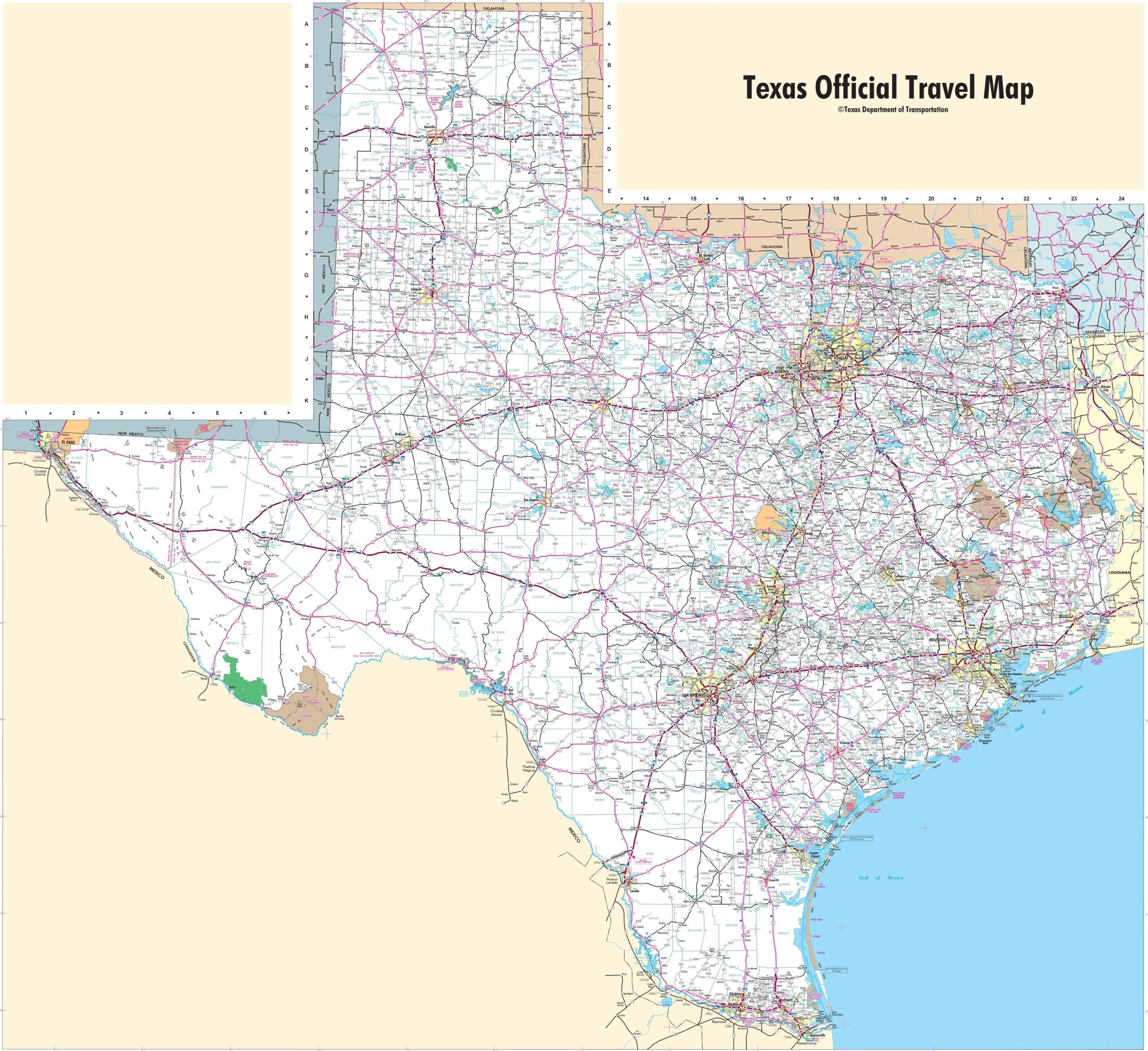
1. Map of Texas:

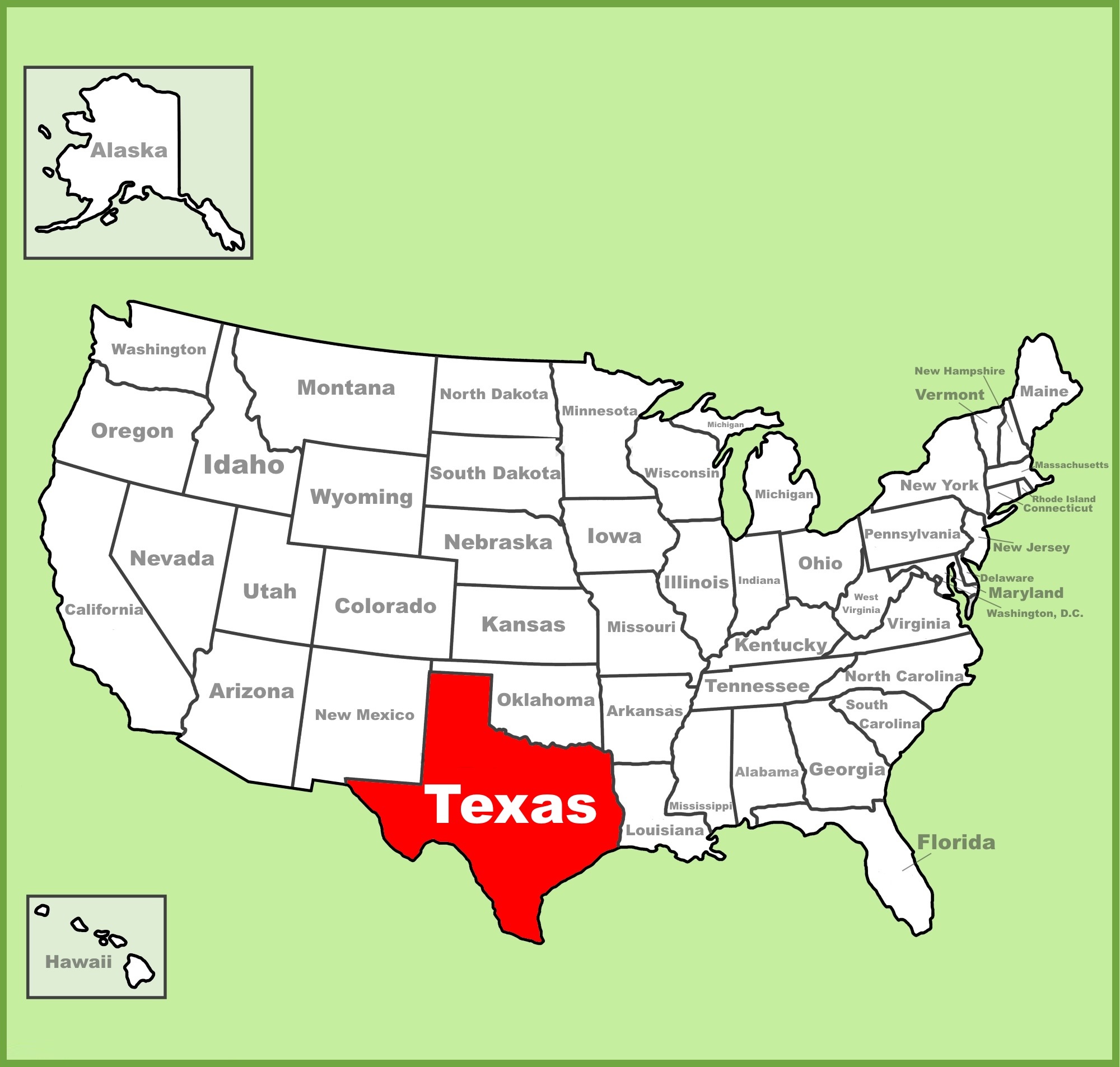
2. Texas on US Map:
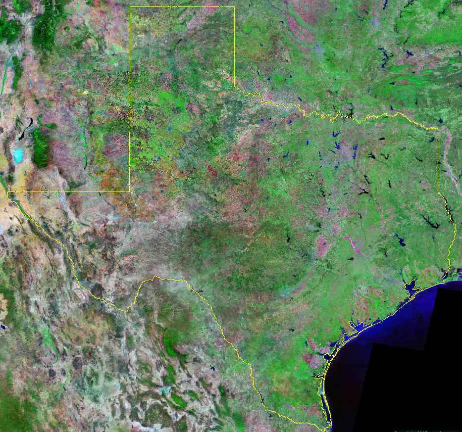
3. Satellite Image of Texas:
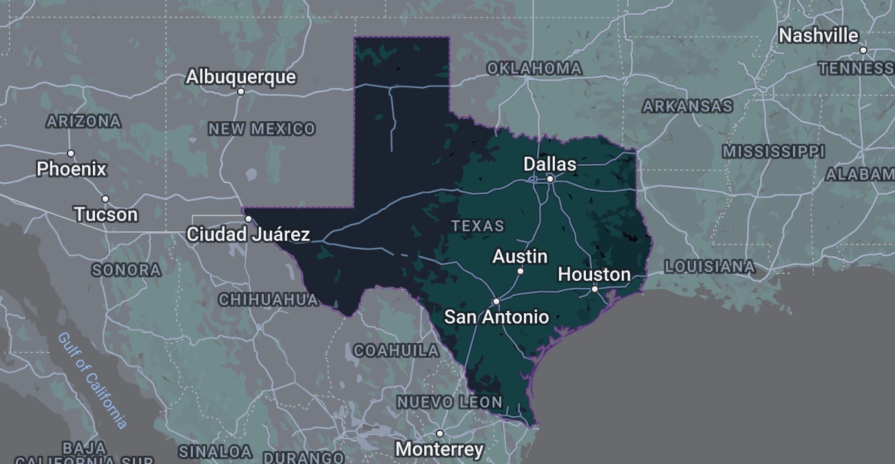
4. Google Map of Texas:
5. County Map of Texas:

6. Map of Texas with Cities & Towns:
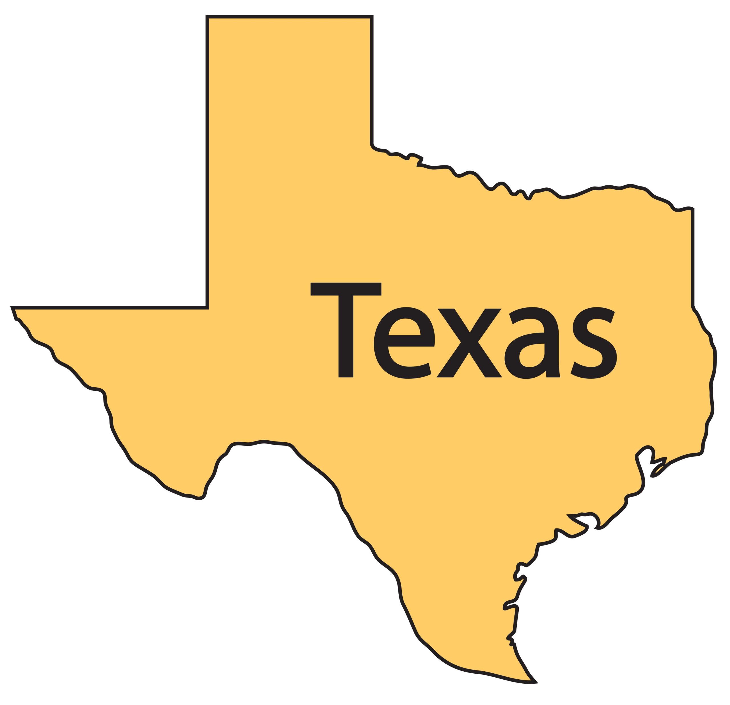
7. Blank Map of Texas (Outline):
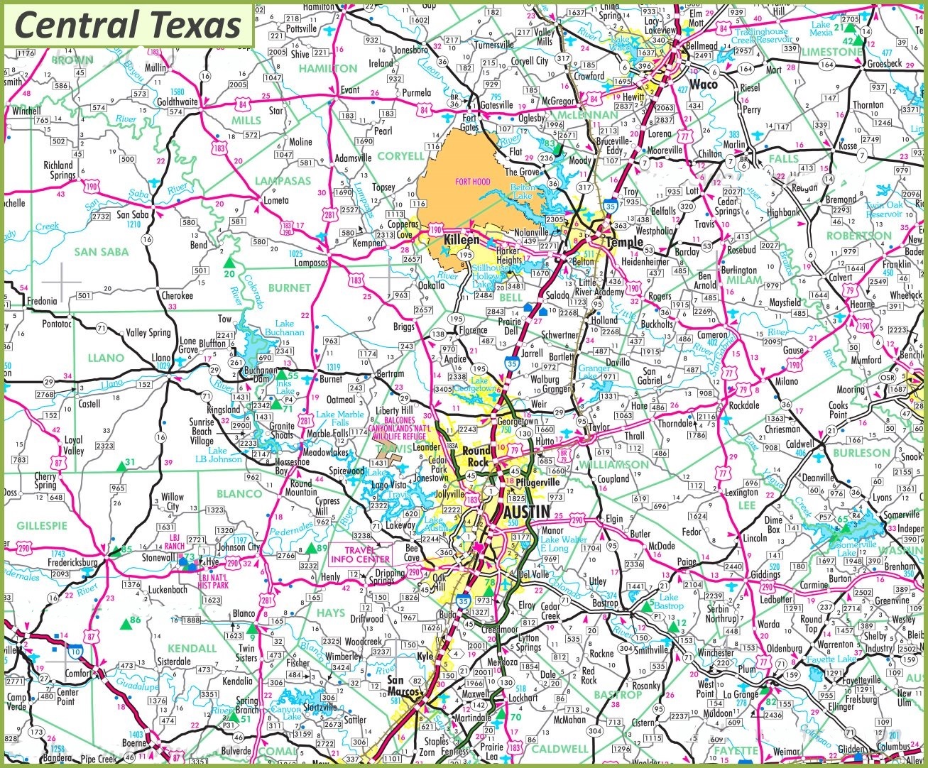
8. Map of Central Texas:
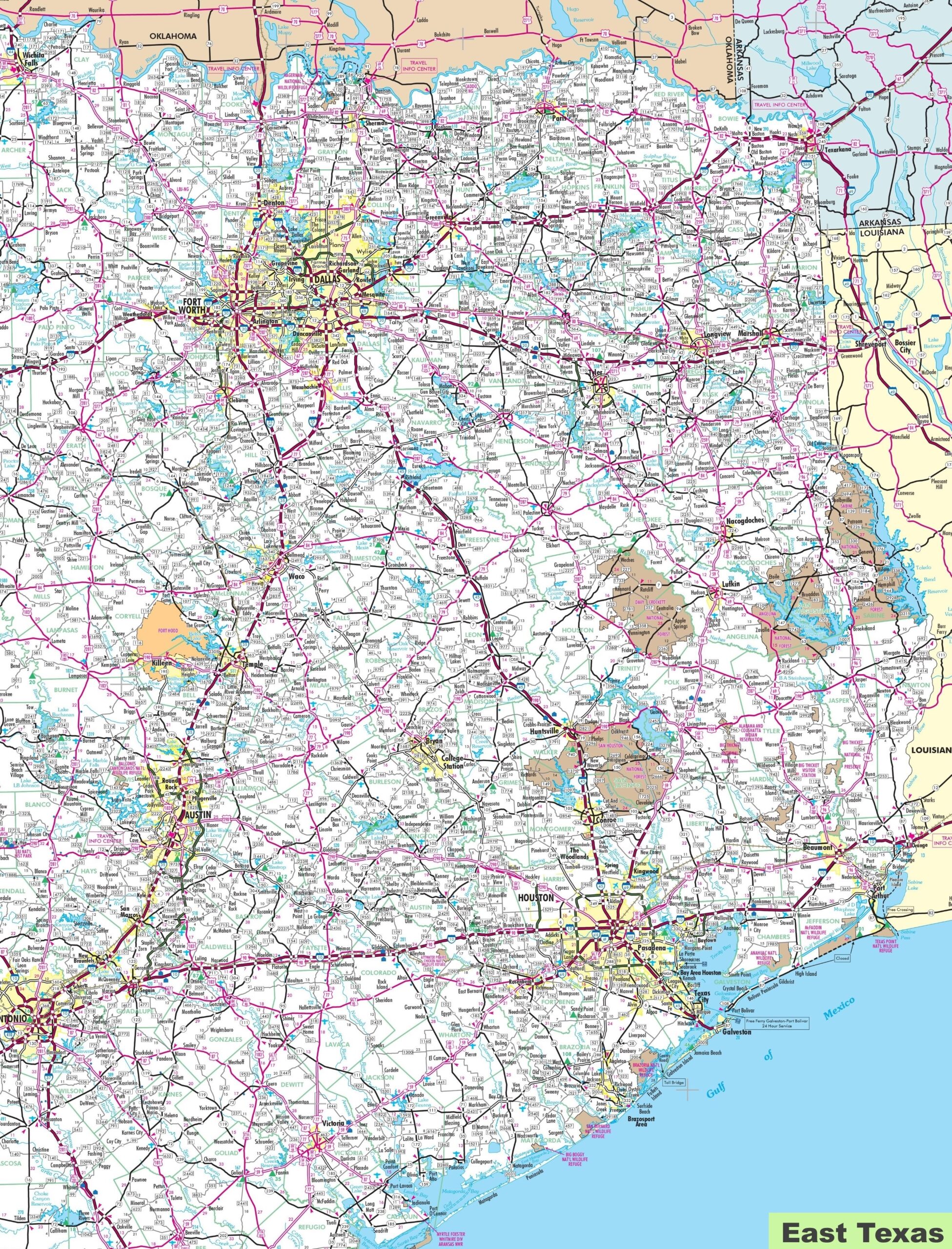
9. Map of Eastern Texas:
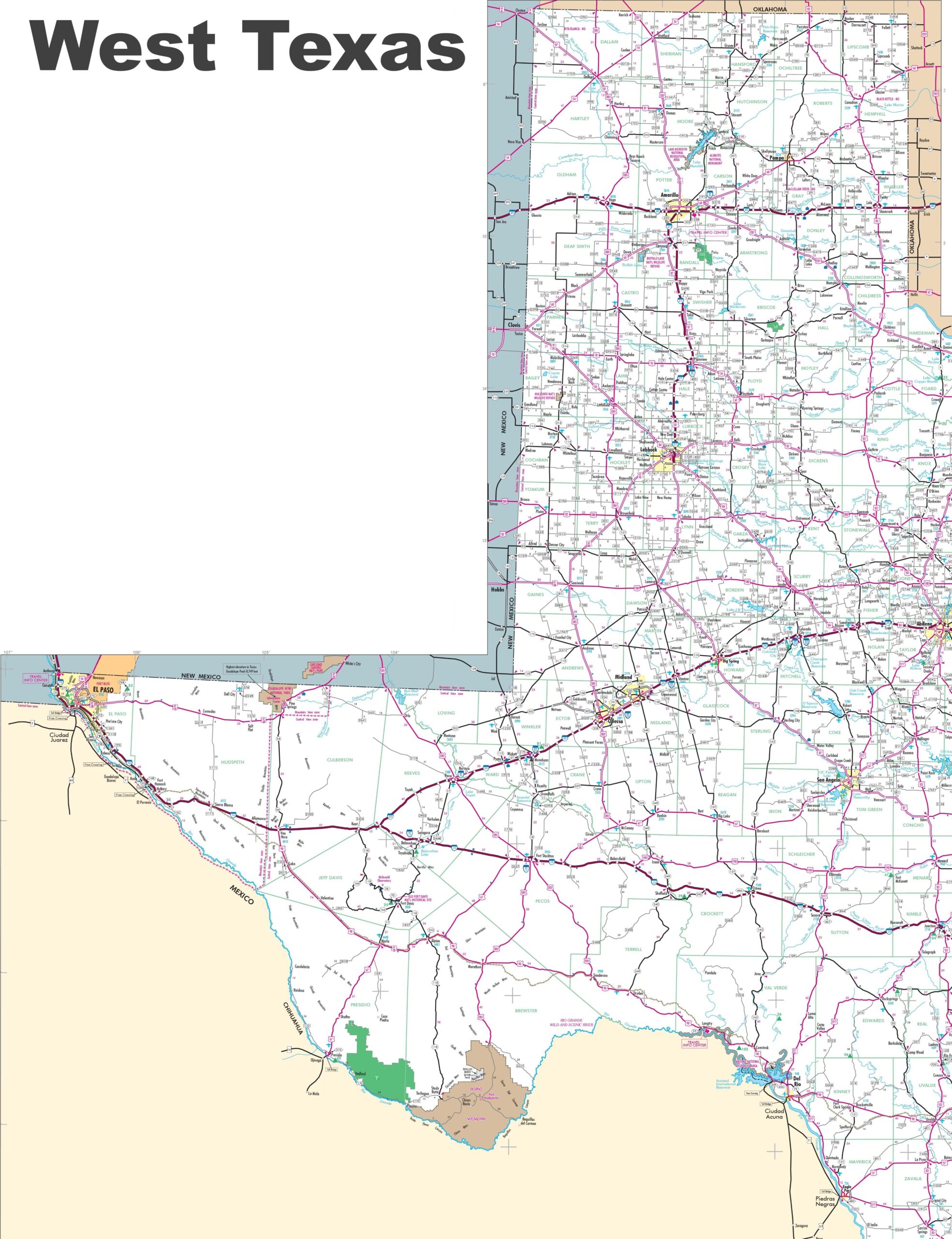
10. Map of Western Texas:
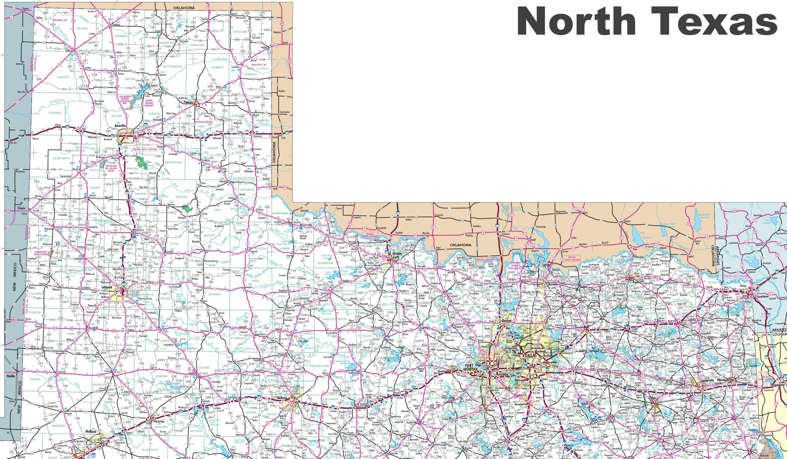
11. Northern Texas Map:
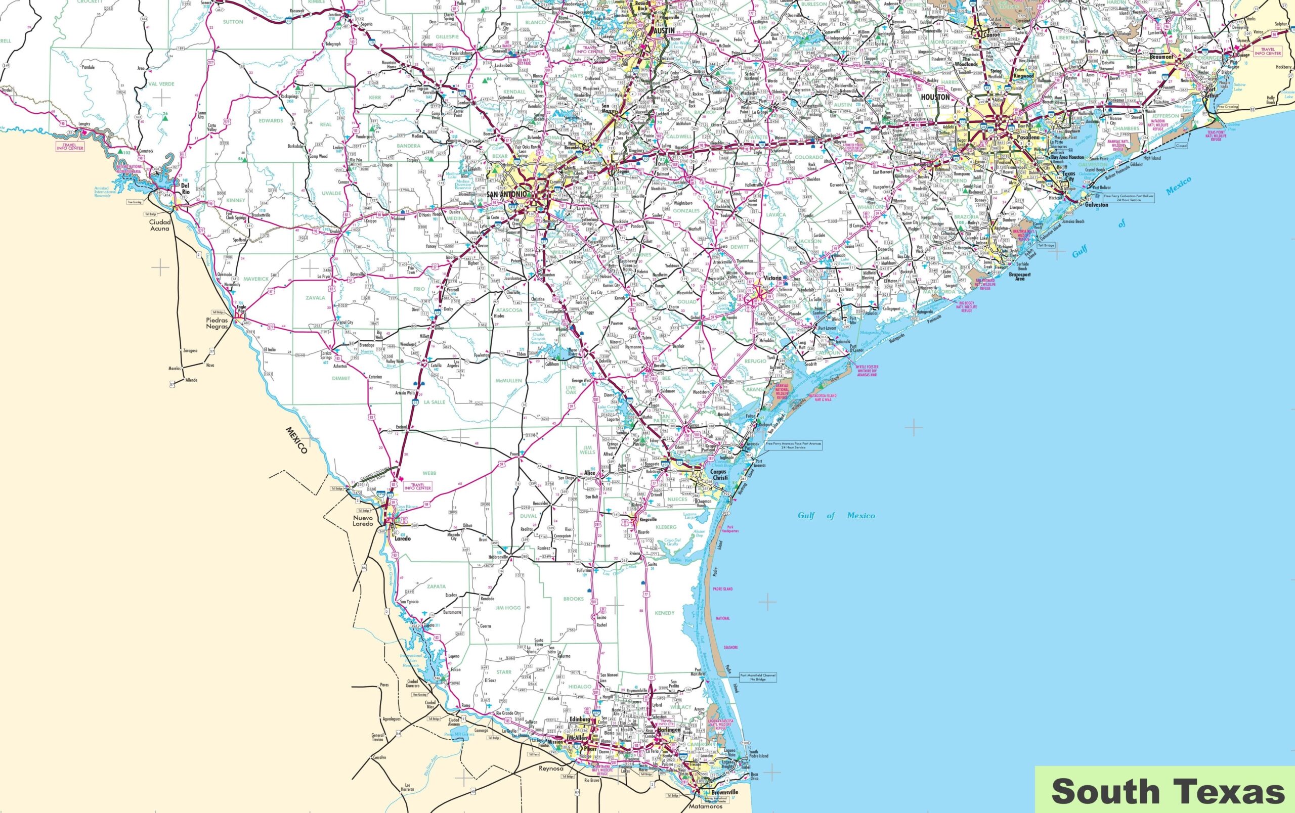
12. Southern Texas Map:
Here, we have added twelve different types of Texas USA map. Each map contains some useful information. For you, we are adding some more useful information about each map here.
The first map is related to the state map of Texas, USA, and this map shows some major cities, counties, lakes, rivers, trekking route. and mountain. You can easily identify any major location with the help of this map. The second map shows the location of Texas state on its country map. As you can see in the map, the area filled with red colour indicates its location on the USA map.
The third map is a Satellite image. You will only see the outer boundary on this map. So, if you want a detailed map of this state, please check the first map. The fourth map is a Google map or google earth type map of this state, which shows some cities, towns, and the capital city of Texas.
The fifth map is related to the map of Texas county. It is a full-detailed map of Texas with counties. County seats of each county are also shown on this map. The sixth map is a large and detailed map of Texas with cities and towns. This map shows all cities, towns, roads, highways, railroads, airports, beaches, rivers, lakes, mountains, etc.
The seventh map is a simple blank and outline map of Texas, which shows the outer boundary. The next five maps are the regional maps of Texas. On the eighth map, you will see all cities, towns and roads of the Central area of Texas, and on the ninth map, you will get to know all cities, towns and roads of Eastern Texas. Tenth map shows all cities and towns of Western region of Texas. On the eleventh map, this map related to Northern area of Texas. Now, the last map is a specific area map that shows all cities, towns and places of Southern Texas area.
So, these were some best TX USA Map that we have added above. All the maps are available in PDF format and JPG format. You can easily download any map by clicking on the buttons under the preview image. All these maps are free to download.