North Dakota is a beautiful state in the USA, which is located in the upper midwestern region of the country. This state has several nicknames; some of them are as follows – Peace Garden State, Roughrider State, Flickertail State, and Heaven on Earth. The capital of this state is Bismarck, and this state is the nineteenth largest in area. If you want to know more about this state and its cities, you should first start with its maps. So, here on this page, we are adding different types of maps related to North Dakota. Please scroll down the page and have a look at these high-quality and printable North Dakota maps. And, for some Road and Highway maps of North Dakota (ND), click on this link and get all these maps for free.
Printable Map Collection of North Dakota (ND):
1. North Dakota Map:

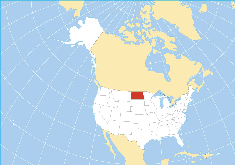
2. North Dakota on US Map:

3. North Dakota location on World Map:
4. North Dakota Map with Cities:

5. North Dakota County Map:

6. North Dakota Outline Map:

7. North Dakota Google Map:

8. North Dakota Satellite Map:

This is the collection of (North Dakota) N.D. maps, USA, that we have added above. We have added a total of eight different maps that contain some helpful information about the State. Below, we are also adding some brief information about each map. So, please read the full description before viewing or downloading any map from the above.
The first map is related to the main state map of this State, which shows all counties, major cities and major roads and highways on the map. And the next map shows the location of North Dakota state on its country map. As you can see, an area filled with red indicates this State located on the U.S. map.
In the third map, you can see the location of North Dakota on the world map. A red colour box indicates the location of this State on the global map. You can check the preview image of this map for a quick view.
The fourth map shows all the cities, towns, counties, other places and tourist places. It is a complete and detailed map of North Dakota state with cities and towns. And on this map, you can also know about all parks, airports, railroads, street roads, city roads, interstate highways, U.S. routes, and other states’ highways. Now, the fifth map is related to the County map of this State that shows all counties and the major cities of these counties.
The sixth map is a blank outline map of this State, which shows the outer boundary of North Dakota state. The next map is a google map which shows some major cities and all counties of this State. Now, the eighth map is a satellite image map of North Dakota that shows the structure of this State. As you can see on the map, a thin yellow line marks the outer boundary. These types of satellite images or maps are used for geographic work. For its actual map, please check the first and fourth maps.
These were some large and printable maps of North Dakota (N.D.) that we have added above. All these high-quality maps are available in PDF format and JPG (Image) format. You can easily download any map by clicking on the buttons under the preview image. All these H.D. maps are free to download.