Alaska is the 49th state of the USA which is admitted to the union on 03 January 1959. Alaska is located in the western region of North America. The State of Alaska has a nickname which is The Last Frontier.
You may explore more about this state with the help of an Alaska map. So, scroll down the page and check our collection of printable maps related to Alaska state, county maps, blank maps, google maps, physical maps, and some other maps.
Collections of Alaska State Maps:
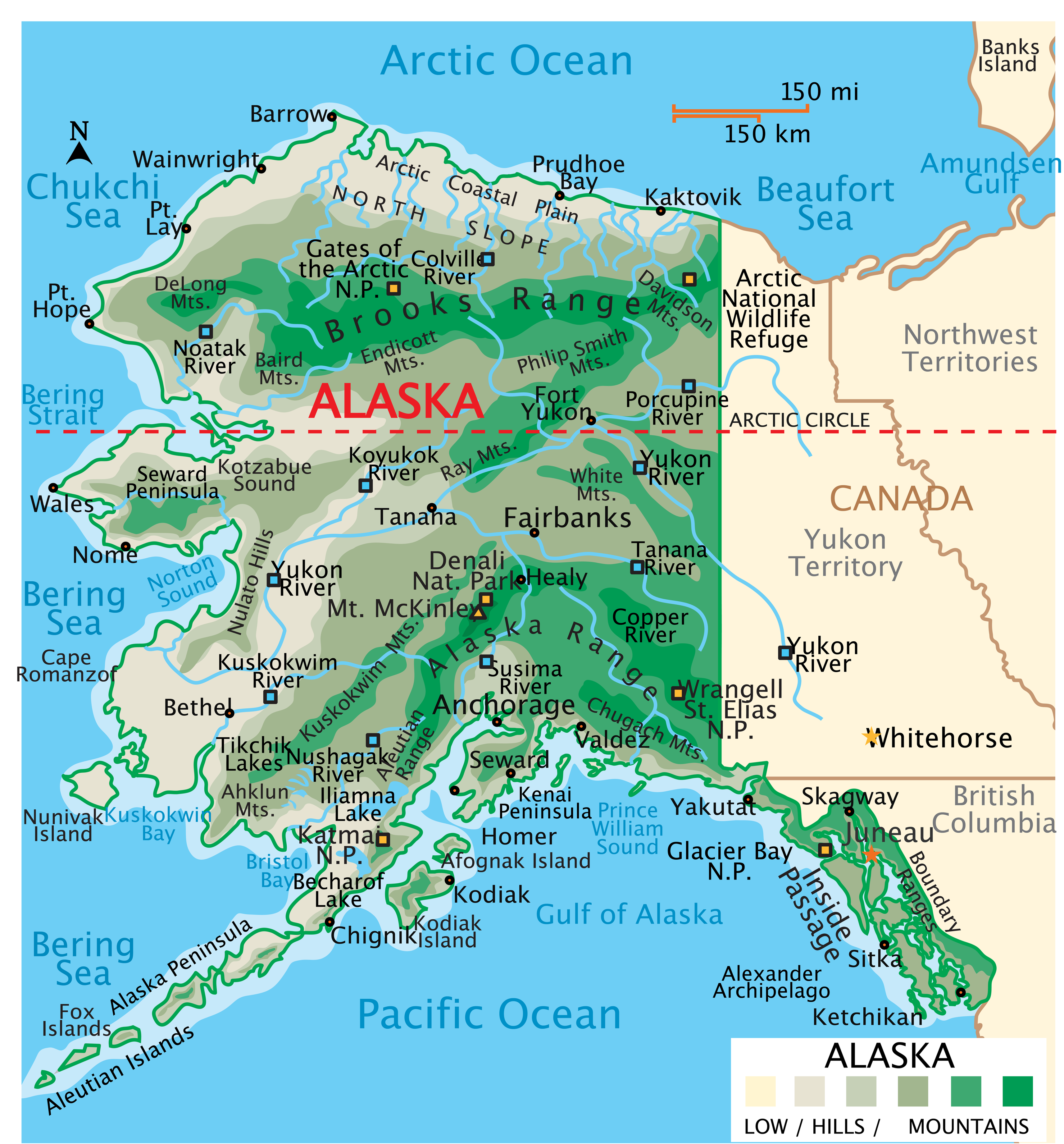
1. Map of Alaska:
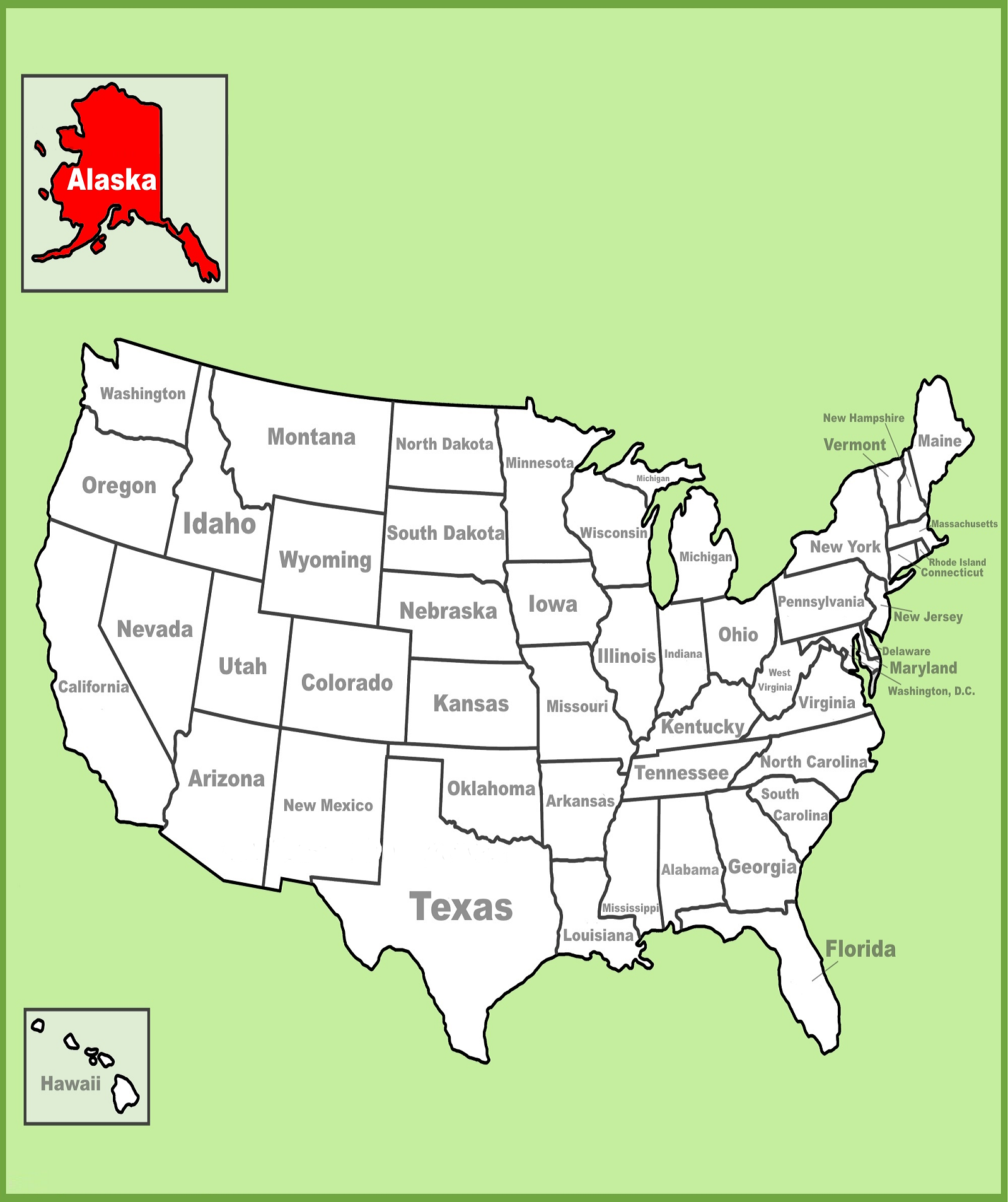
2. Alaska on USA Map:
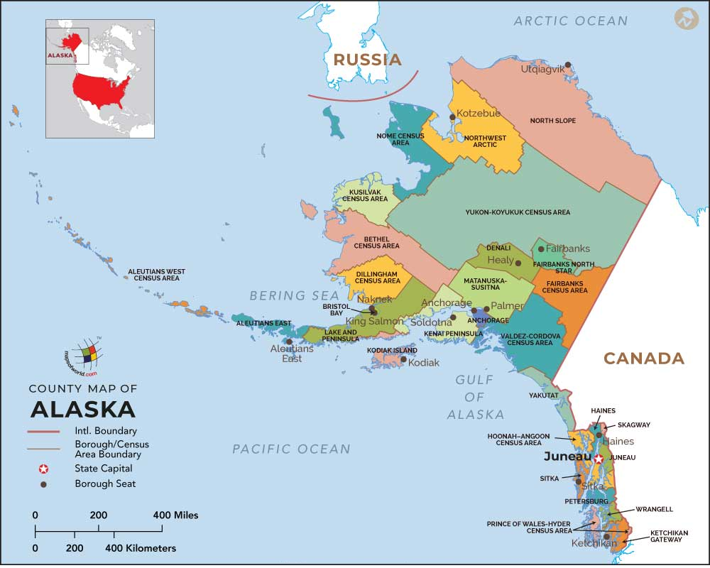
3. Borough Map of Alaska:
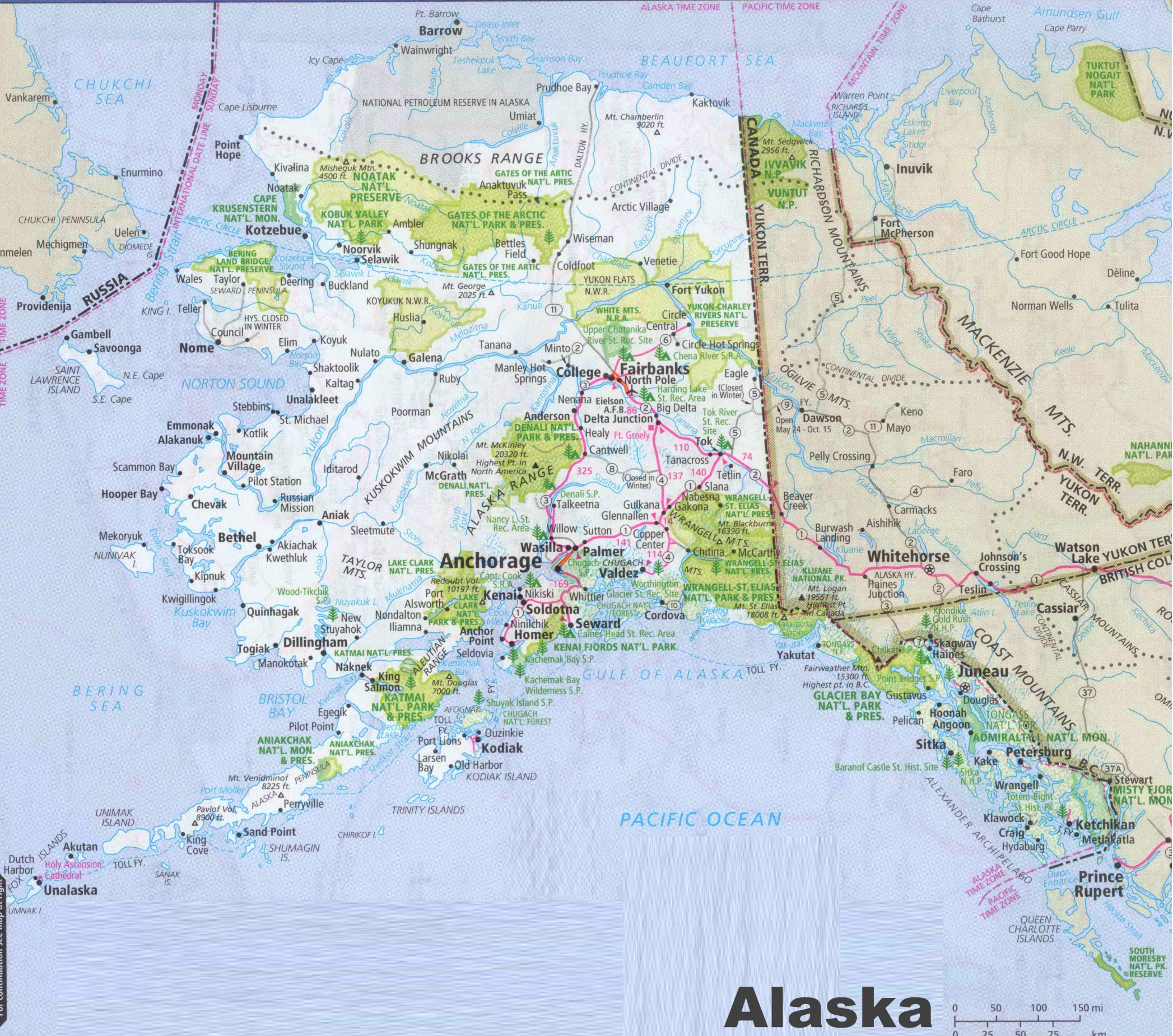
4. Cities & Towns Map of Alaska:
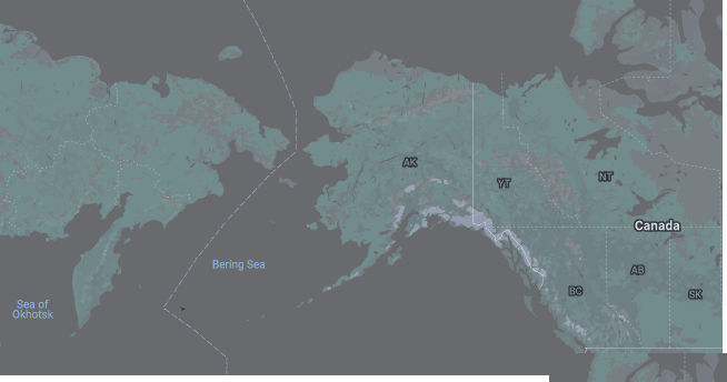
5. Google Map of Alaska:
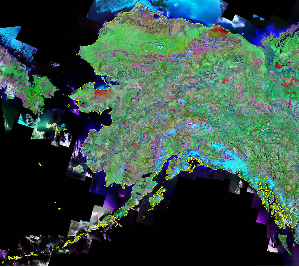
6. Satellite Map of Alaska:
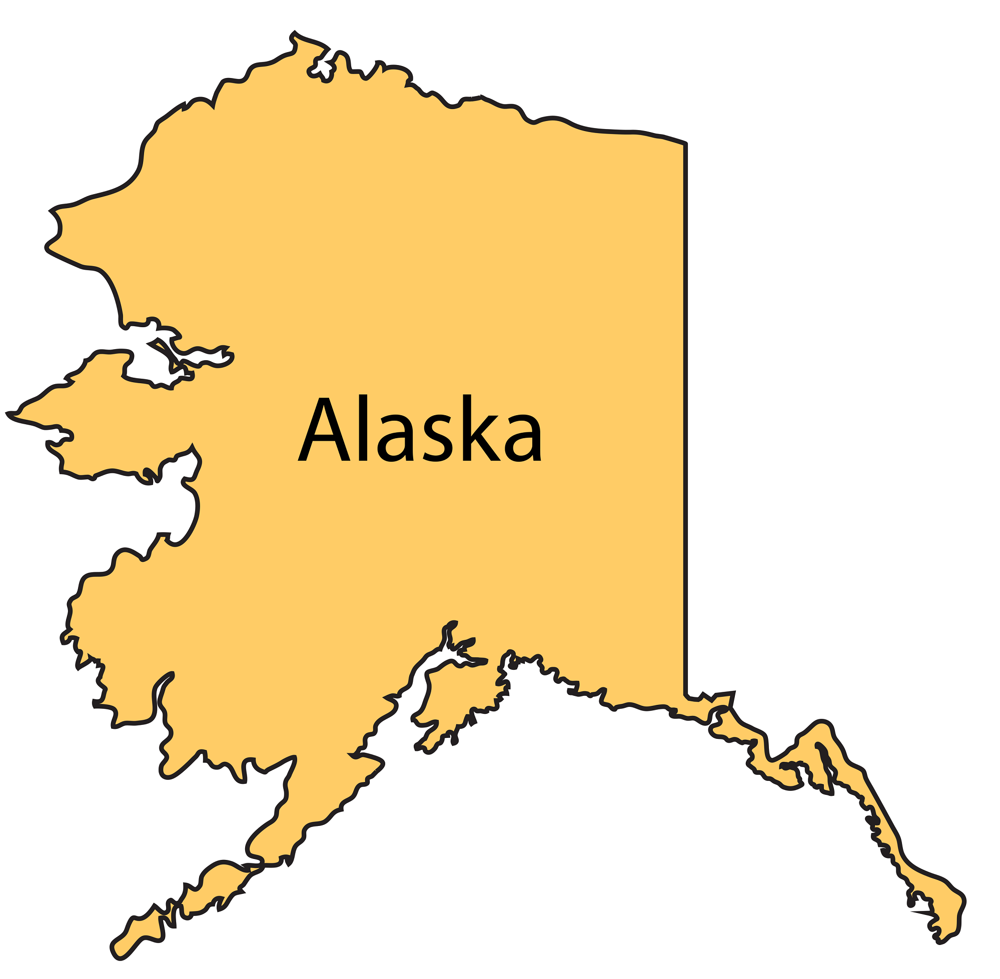
7. Blank or Outline Map of Alaska:
Here, we have added seven different types of Alaska USA map. Each map contains some useful information. For you, we are adding some more useful information about each map here.
The first map is related to the detailed state map of AK, USA and this map shows some major cities, counties, lakes, rivers, hills, and mountain ranges. You can easily identify any major location with the help of this map. The second map shows the location of Alaska state on its country map. As you can see in the map, the area filled with red color indicates its location on the USA map.
The third map is related to the map of Alaska Borough. It is a full-detailed AK Borough map with cities. Admin seats of each borough are also shown on this map. The fourth map is a large and detailed map of Alaska with cities and towns. This map shows all cities, towns, roads, highways, railroads, airports, beaches, rivers, lakes, mountains, etc.
The ninth map is a Google map version of this state which shows some cities, towns, and the capital city of Alaska. The tenth map is a Satellite image or Topographic map of this state which shows the structure. You will only see the outer boundary on this map. So, if you want a detailed map of this state, please check the first map. The last map is a simple blank and outline map of Alaska, which shows the outer boundary.
So, these were some best maps in high resolution that we have added above. All the maps are available in PDF format and JPG format. You can easily download any map by clicking on the buttons under the preview image. All these maps are free to download.