Delaware is the 1st state of the USA which is admitted to the union on 7th December 1787. Delaware is located in the mid-Atlantic region of the country. The State of Delaware has four nicknames which are as follows: The First State, The Small Wonder, Blue Hen State & The Diamond State.
You may explore more about this state with the help of a Delaware map. So, scroll down the page and check our collection of printable maps related to Delaware state, county maps, blank maps, google maps, physical maps, and other interactive maps.
Collections of Delaware State Maps:
1. Delaware Map:
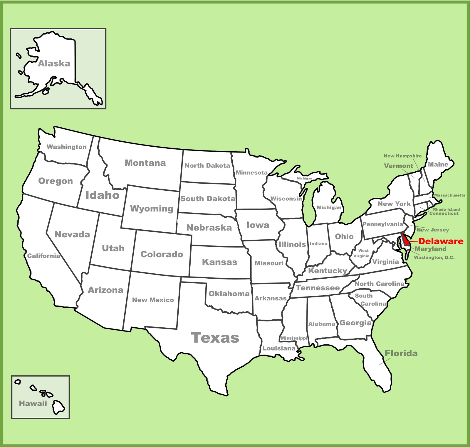
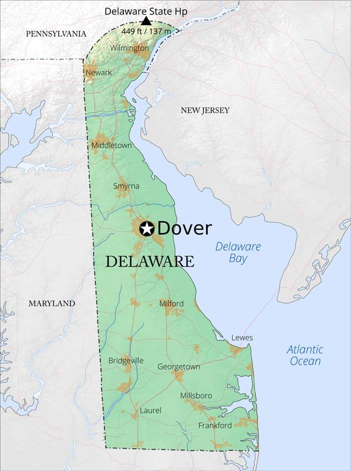
2. Delaware on USA Map:
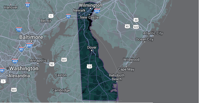
3. Google Map of Delaware:
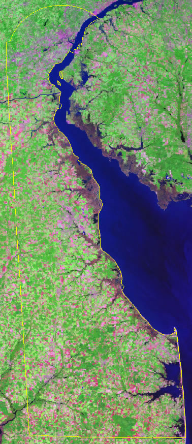
4. Satellite Map of Delaware:
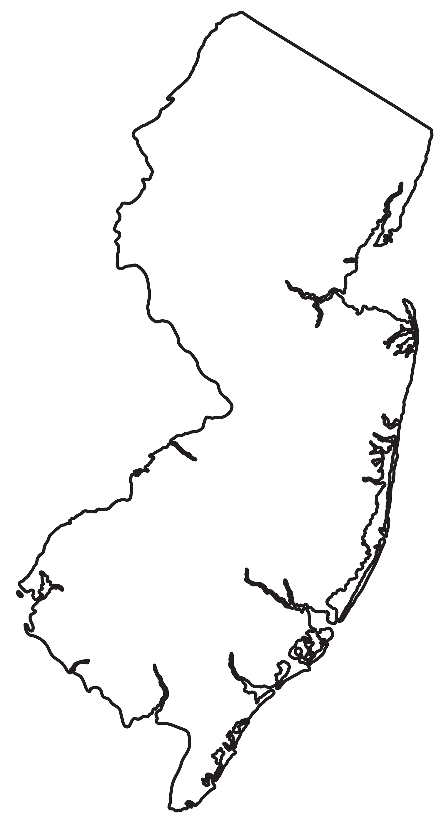
5. Blank or Outline Map of Delaware:
6. Physical or Topographic Map of Delaware:
7. County Map of Delaware:
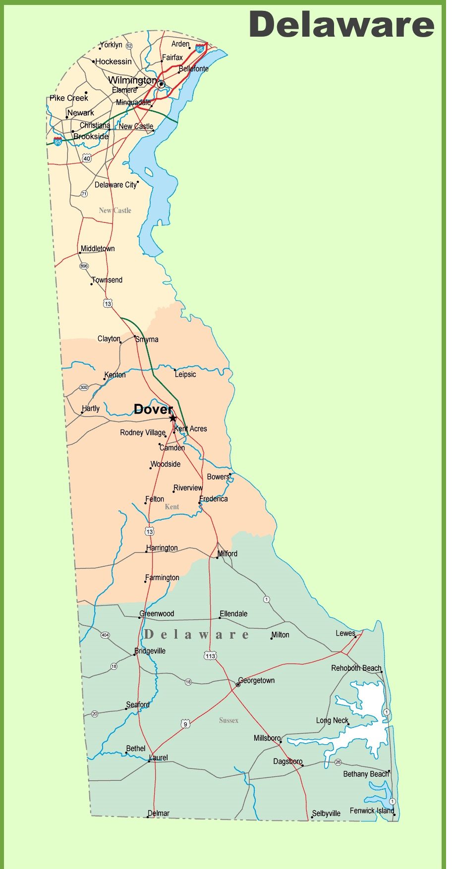
8. Detailed Map of Delaware with Cities & Counties:
This is the collection of the DE map that we have added above. We have added a total of nine different maps that contain some helpful information. Below, we are also adding some brief details on each map. So, please read the full description before viewing or downloading any map from the above.
The first map is related to the state map of this state, which shows all counties, towns, and cities on the map. And the second map shows the location of Delaware on the U.S. map. As you can see, an area filled with red indicates this state location. The third map is a type of google map which shows some cities, capital city, and counties of this state. Now, the fourth map is a satellite image of Delaware that shows the structure of this state. As you can see on the map, a thin yellow line marks the outer boundary. These types of satellite images or maps are used for geographic purposes. The fifth map is a blank outline map of this state, which shows the outer boundary. Now, the next map is Topographic or Physical map of this state.
The sixth map is related to the Delaware County map, which shows all counties and the major cities. The seventh map shows all the cities, towns, counties, other significant places, and tourist places. It is a complete and detailed map of Delaware state. And on this map, you can also learn about all parks, malls, beaches, airports, railroads, street roads, city roads, interstate highways, U.S. routes, and other states’ highways.
These were some most useful and printable Delaware Maps that we have added above. These high-quality maps are available in PDF and JPG (Image) formats. You can easily download any map by clicking on the buttons under the preview image. All these large H.D. maps are free to download.