The United States is one of the greatest places to attend college and graduate. It prides itself on over 4000 educational institutes with
[Read More...]
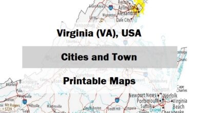
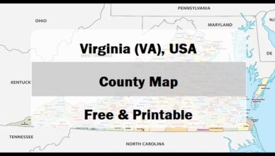
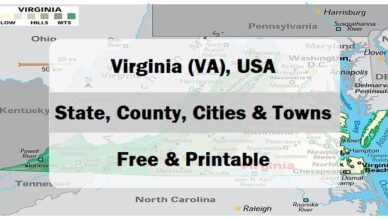
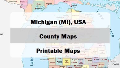
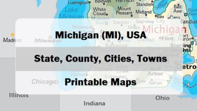
Virginia, a state situated in the Mid-Atlantic and Southeastern region of the United States is divided into 95 counties and 38 independent cities
[Read More...]