Montana is a beautiful state, located in the mountain west subregion of the Western United States of America. This state is also known as “Big Sky Country” & “The Treasure State”. And, the capital city of this state is Helena and Billings is the largest urban area city in Montana. This is a very beautiful state to explore and travel to. And, if you are a traveller and Montana is on your list then you should definitely visit this state. But, before beginning your journey, you must have some interactive and printable maps of this state. Because a map will help you a lot on your trip. So, please scroll down the page and let’s start with Montana Map. You may also check some Roads and Highways Maps of Montana (MT), USA.
Montana State Maps Collection:
1. Map of Montana:

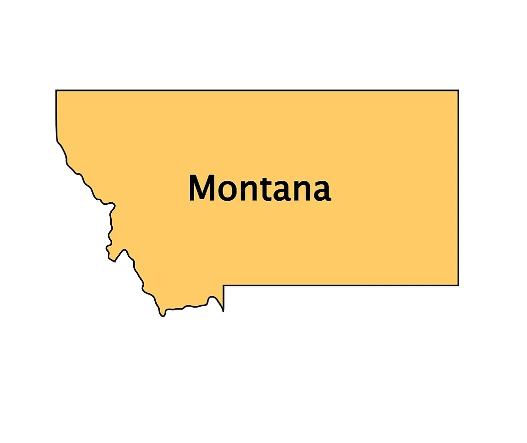
2. Montana on Map of USA :

3. Google Map of Montana:

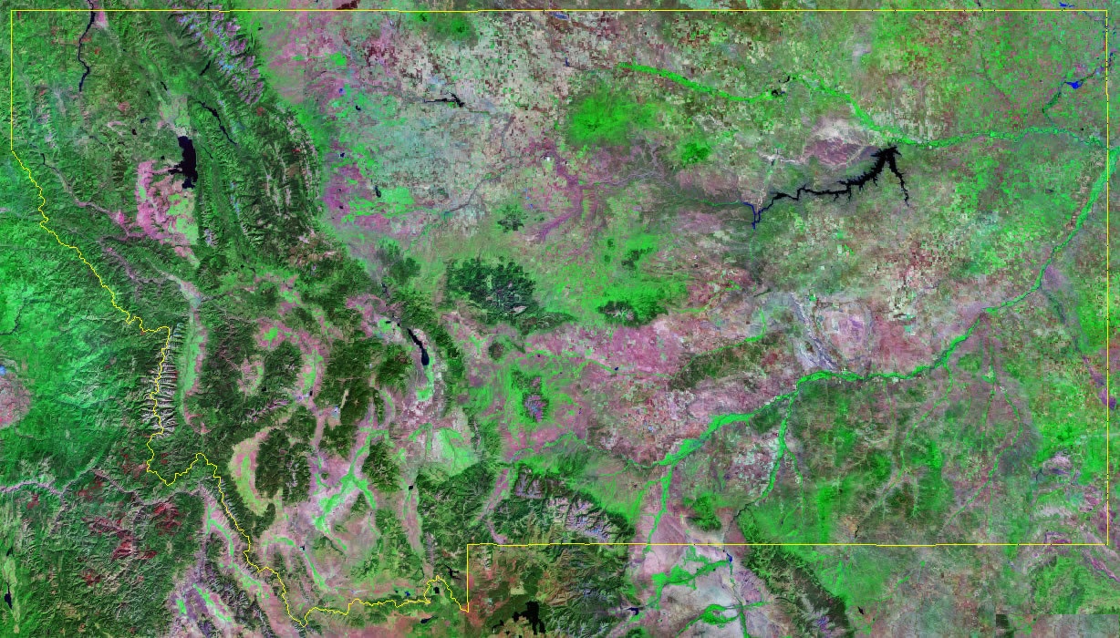
4. Satellite Map of Montana:
4. State of Montana Outline:
5. Montana Map with Cities and Towns:

6. Montana County Map:

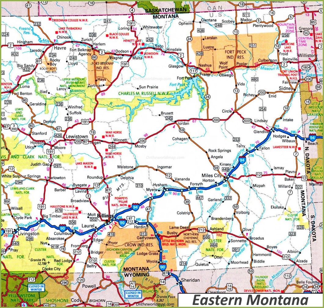
7. Map of Eastern Montana:
8. Map of Western Montana:

This is the collection of MT, USA map that we have added above. We have added a total of eight different maps that contain some helpful information. Below, we are also adding some brief information about each map. So, please read the full description before viewing or downloading any map from the above.
The first map is related to the state map of this state, which shows all counties, towns and cities on the map. And the second map shows the location of this state on the U.S. map. As you can see, an area filled with red indicates this state location. The third map is a google map which shows some cities, capital city and counties of this state. Now, the fourth map is a satellite image of Montana that shows the structure of this state. As you can see on the map, a thin yellow line marks the outer boundary. These types of satellite images or maps are used for geographic works. The fifth map is a blank outline map of this state, which shows the outer boundary of Montana.
The sixth map shows all the cities, towns, counties, other significant places and tourist places. It is a complete and detailed map of Montana state. You can use this map if you are an explorer, traveller or tourist because, on this map, you can also know about all parks, malls, beaches, airports, railroads, street roads, city roads, interstate highways, U.S. routes, and other states’ highways. The seventh map is related to the County map of Montana, which shows all counties and the major cities.
Now the last three maps are the specific regional maps of Montana. The ninth map shows all cities and towns located in Eastern Montana, and the tenth map shows all towns, cities and roads of Western Montana state. These were some most useful and printable Montana State Map that we have added above. These high-quality maps are available in PDF format and JPG (Image) format. You can easily download any map by clicking on the buttons under the preview image. All these H.D. large maps are free to download.