Maine (ME) is a beautiful state of the United States, bordered by New Hampshire to the west; and the Canadian provinces to the northeast and northwest. This state is located in the New England region of the USA. Get more information about this state through the map of Maine state. Here on this page, we are adding some printable maps of Maine. These maps will help you a lot to explore in this state. You should also check our other collection of Roads and Highways maps of Maine (ME) if you plan to travel in this state or any city of this state.
Maine (ME) State Maps Collection:
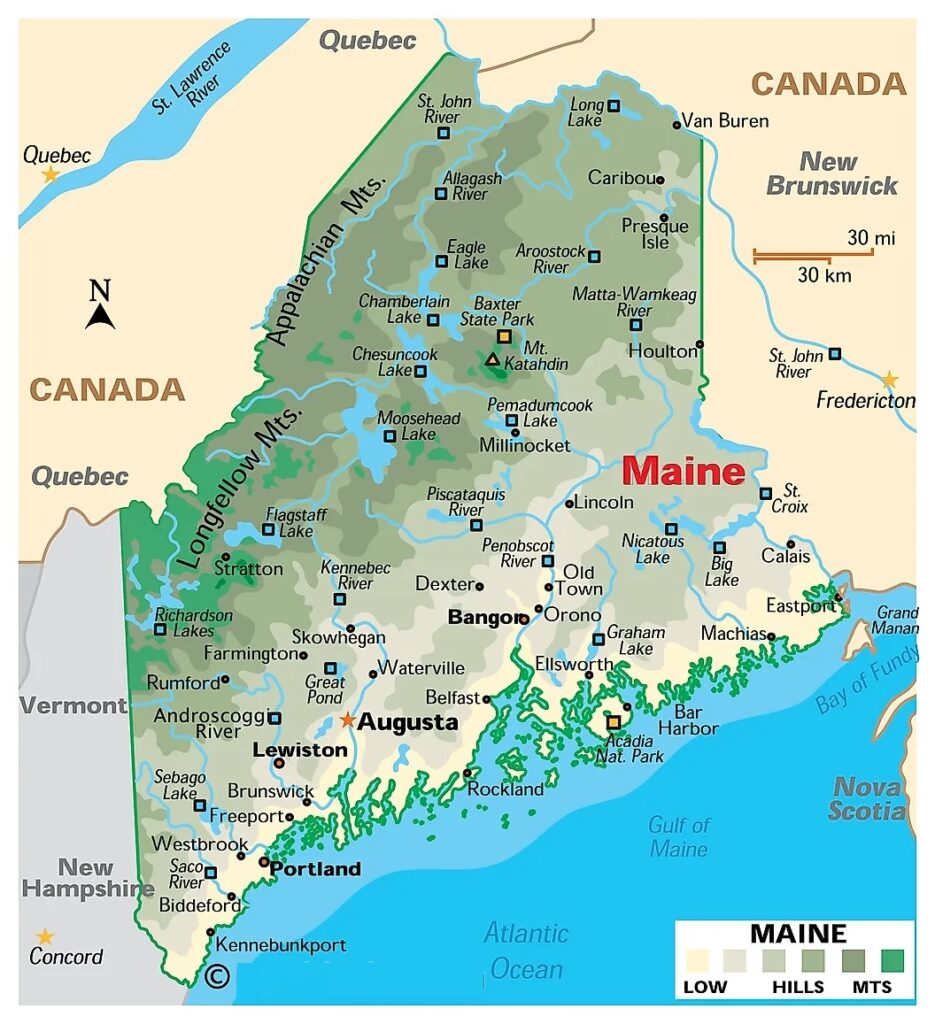
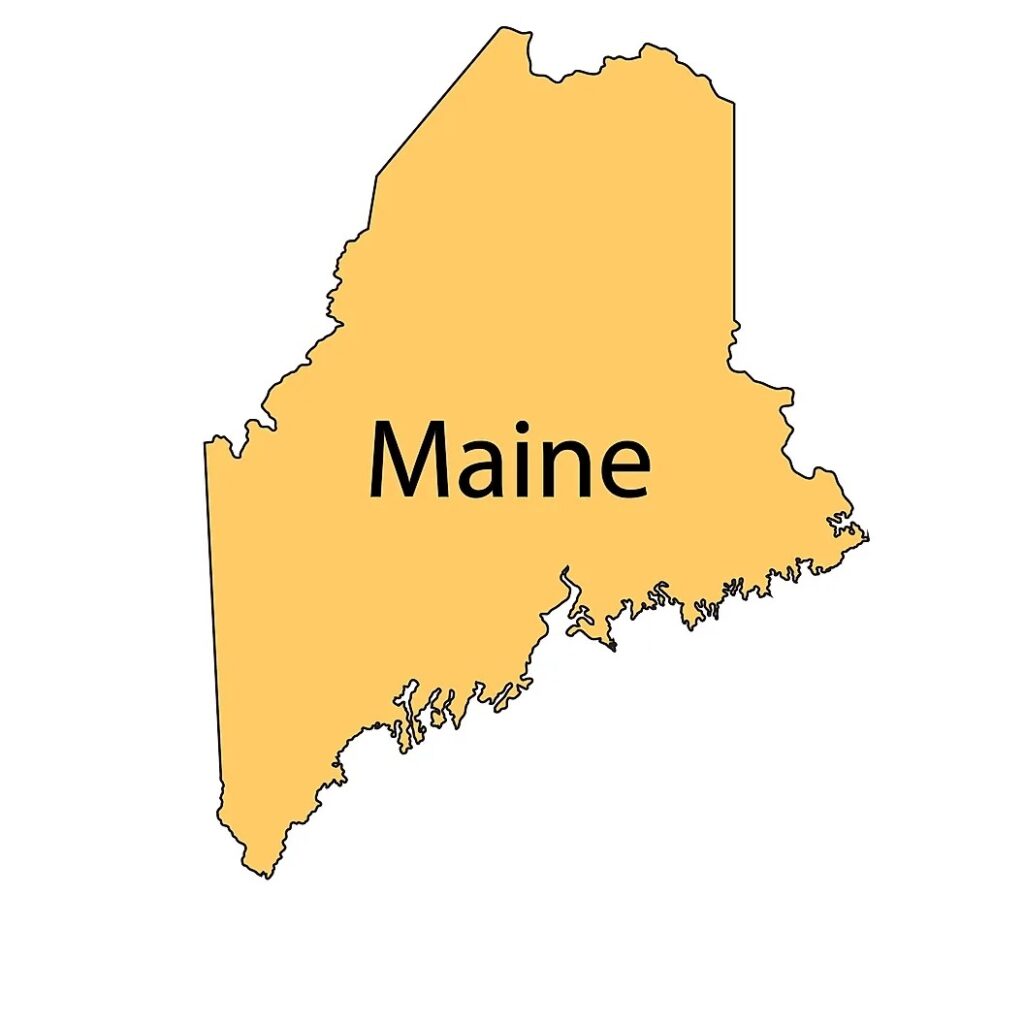
1. The Map of Maine:
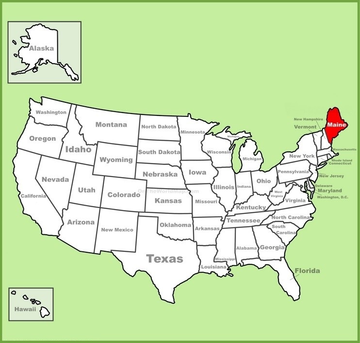
2. Maine on US Map:
3. Google Map of Maine:
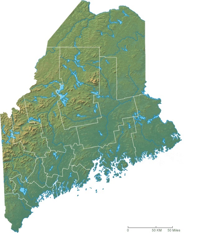
4. Satellite Map of Maine:
5. Blank Map of Maine:
6. Maine Topographic Map:
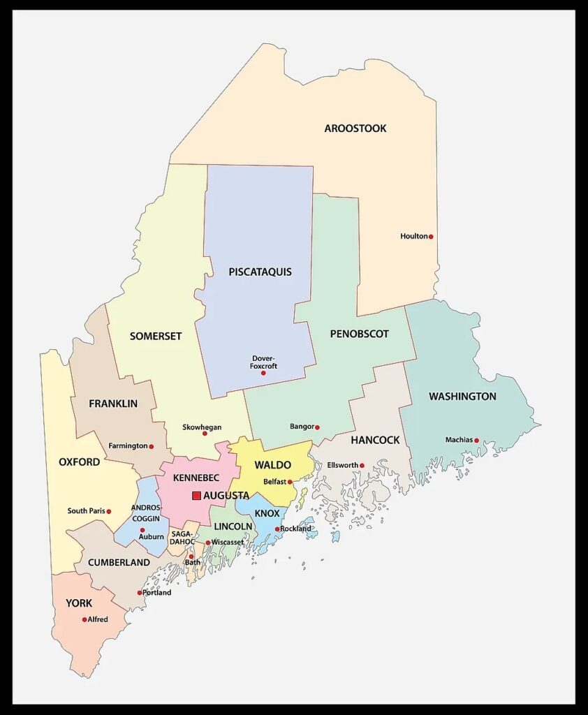
7. County Map of Maine:
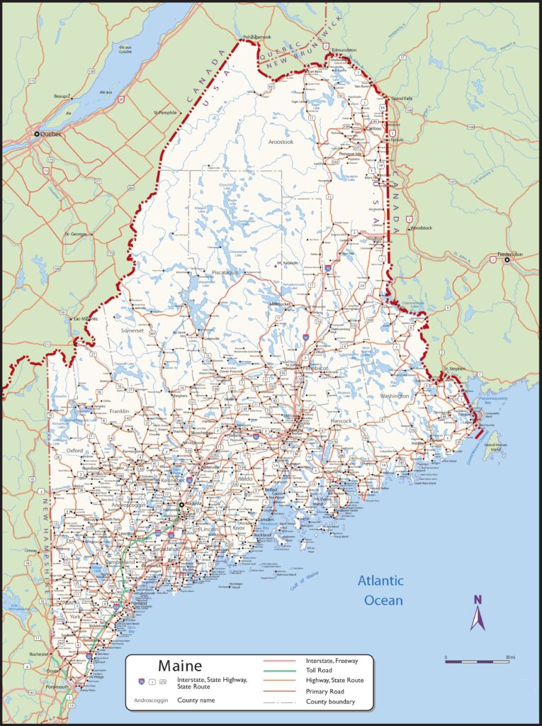
8. Map of Maine with Cities and Towns:
9. Map of Southern Maine:

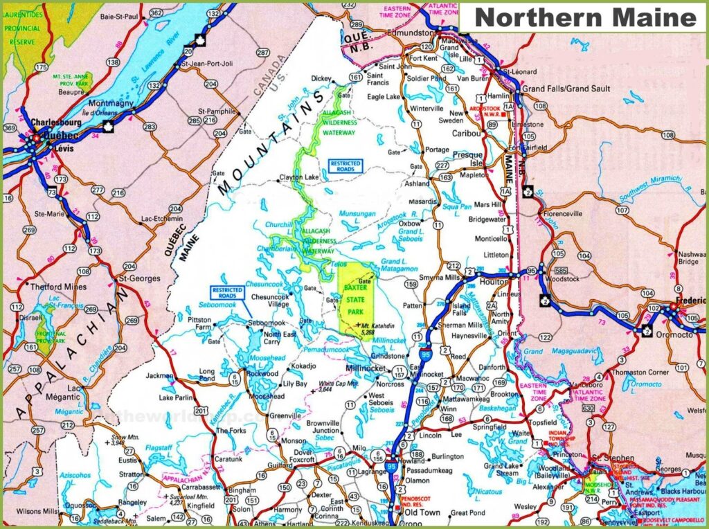
10. Map of Northern Maine:
Here, we have added ten different types of ME USA map. Each map contains some useful information. For you, we are adding some more useful information about each map here.
The first map is related to the detailed state map of Maine, and this map shows some cities, counties, lakes, rivers, hills and mountains. You can easily identify any major location with the help of this map. The second map shows the location of Maine state on the USA Map. As you can see in the map, the area filled with red colour indicates its location on the country map.
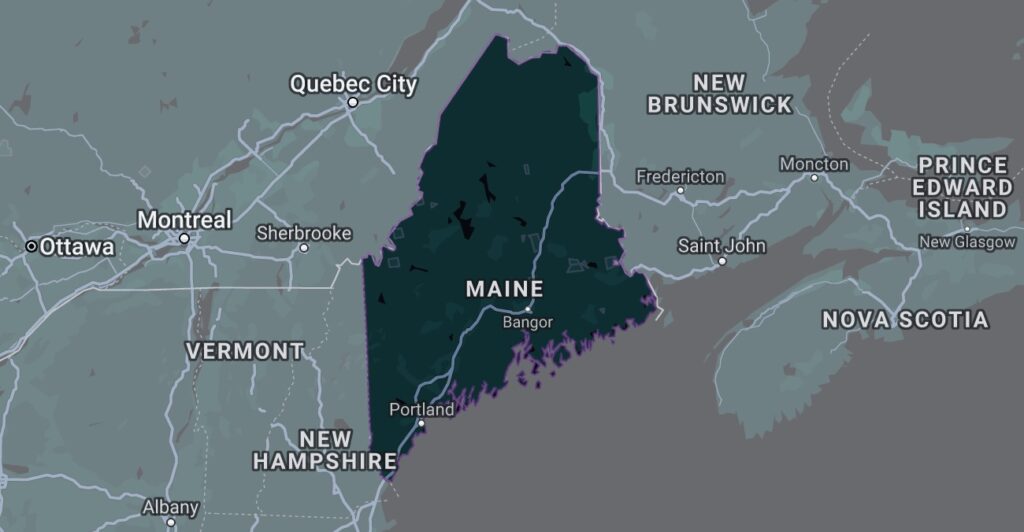
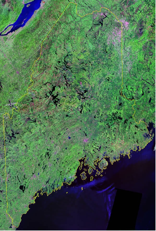
The third map is titled “Google Map of Maine.” This map is a Google map version of this state which shows some cities, towns, and the capital city. The fourth map is a Satellite image of this state which shows the structure. You will only see the outer boundary on this map. So, if you want a detailed map of this state, please check the first map. Now, the fifth map is a simple outline or blank map of Maine, which shows the outer boundary. The sixth map is also similar to the previous map but visually different. So, this map is a kind of topographic map used in geographic works. This map shows the boundaries of all counties with some water bodies.
The seventh map is related to the map of Maine county. It is a full-detailed ME county map with cities. County seats are also shown on this map. The eighth map is a large and detailed map of Maine with cities and towns. This map shows all cities, towns, roads, highways, railroads, airports, beaches, rivers, lakes, mountains, etc. The next two maps are the specific area maps of Maine, USA. On the ninth map, you will see all cities, towns and roads of Northern Maine, and on the last map, you will get to know all cities, towns and roads of Southern Maine. Both maps are the regional maps of Maine state.
So, these were some best and most useful maps of Maine that we have added above. All the maps are available in PDF format and JPG format. You can easily download any map by clicking on the buttons under the preview image. All these maps are free to download.