Iowa is a state of the United States of America, located in the Midwestern region of the USA. This is a very beautiful state to explore and travel to. And, if you are planning to travel to this state, then it is good. So, during your journey, you will need a Iowa Map because a map helps a lot during travel. Here on this page, we are adding some printable maps of Iowa State, counties, and cities. Please scroll down the page and have a look at this amazing collection of maps. You should also check some other Roads and Highway Maps of Iowa. These roads maps will be helpful in navigation.
Collection of Iowa (IA) Maps:
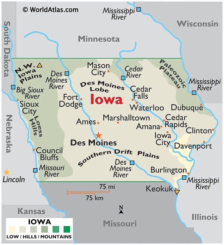
1. Map of Iowa:
2. Iowa Map with Cities and Towns:

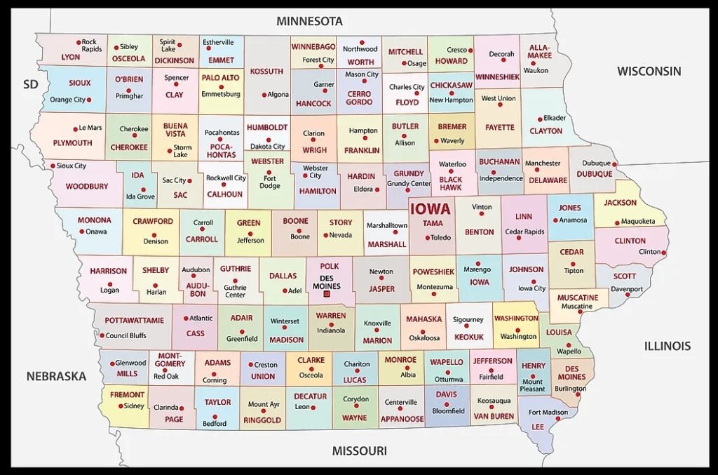
3. County Map of Iowa:
4. Iowa on US Map:

5. Outline Map of Iowa:

6. Google Map of Iowa:

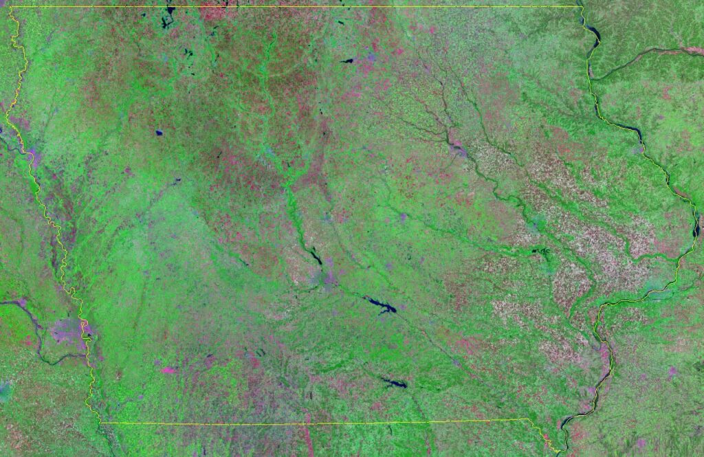
7. Satellite Map of Iowa:
8. Topographic Map of Iowa:

This is the collection of Iowa State Map that we have added above. We have added a total of eight different maps that contain some helpful information about Iowa and its cities. Below, we are also adding some brief information about each map. So, please read the full description before viewing or downloading any map from the above.
The first map is related to the main state map of this state, which shows all counties and major cities on the map. The second map shows all the cities, towns, counties, other significant places. It is a complete and detailed map of Iowa with cities and towns. And on this map, you can also know about all parks, malls, beaches, airports, railroads, street roads, city roads, and interstate highways. Now, the third map is related to the County map of this state that shows all counties along with the major cities of Iowa.
And the fourth map shows the location of Iowa on the US map. As you can see, an area filled with red indicates this state’s location on its country map. The fifth map is a blank outline map of this state, which shows the outer boundary of this state. The sixth map is a type of google map which shows some cities counties of this state. Now, the seventh map is a type of satellite image or map of Iowa that shows the structure of this state. As you can see on the map, a thin yellow line marks the outer boundary. Now, the last map is a Topographic map of Iowa. These types of images or maps are used for geographic purposes.
These were some most useful and printable map of Iowa that we have added above. These high-quality maps are available in PDF format and JPG (Image) format. You can easily download any map by clicking on the buttons under the preview image. All these HD large maps are free to download.